A 3D scan of a building is a way to capture what is actually standing — not what the drawings say is standing — into a digital model you can look at, measure, and work from. Instead of a tape measure and a clipboard, a scanner records the surfaces it can see: walls, openings, ceilings, roof. Software turns those recordings into geometry.
There are three ways to do it, and they produce different things. Each uses a different technique, holds a different level of accuracy, and is built for a different job.
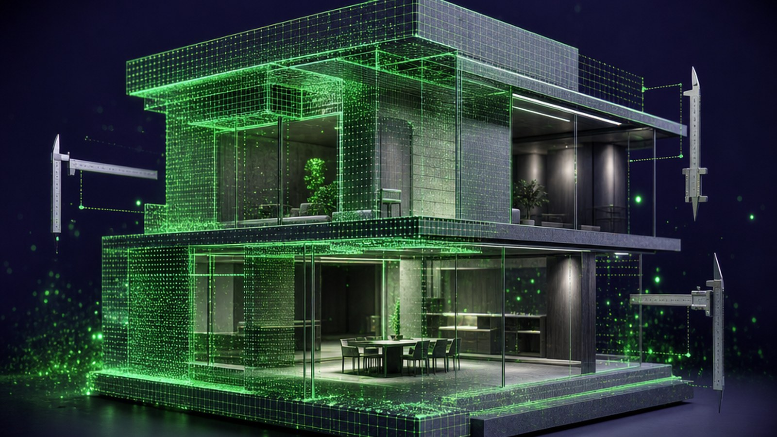
Three ways to scan a building
| Method | Accuracy | Typically used for |
|---|---|---|
| 360° photography | Visual only — no measurement | Seeing and sharing the space |
| Photogrammetry | ~1–2% of a dimension | Estimates, takeoffs, design |
| Laser scanning (LiDAR) | ±5 mm | Fabrication, replacement, verification |
The methods differ because they measure distance differently, and that difference is the entire accuracy story.
360° photography records the space as a linked set of full-room images. Software stitches them into a walkthrough you move through on screen, with a doll-house view of the envelope shape, the interior partitions and the openings. It is the fastest way to put an entire building in front of someone who has never walked it — a leasing walkthrough, a remote design review, a dated record of what the space looked like before demolition. Photography shows you the space; it is not measuring it, and it is not meant to.
Photogrammetry turns the same walk into a measured model. The job is done with hundreds of overlapping photographs. Software finds the same point in several images, works out where each camera was standing, and triangulates the surface. The output is a shell model with real dimensions — openings, story heights, wall planes, roof and parapet, areas by assembly — accurate to roughly one to two percent of a dimension. That tolerance is invisible to the work it feeds: estimates, takeoffs and layouts are made in feet, not sixteenths. One visit gives an estimator everything it needs, and one model can feed the takeoff, the design and the layout at once.
Laser scanning measures distance directly. A laser fires millions of pulses and times each return, so it finds a surface without relying on texture or lighting. The output is a registered point cloud accurate to about five millimeters, with a rough-opening schedule attached. That is the accuracy you need when a number is going to be built from — a replacement opening, an envelope retrofit, or a check that the built shell matches the drawings.
Which method fits the job
The choice comes down to what you will do with the output.
Show it. Leasing and marketing, an owner reviewing a space from another city, a design team that needs to see the existing condition before drawing a line. The site visit collapses into a link: everyone looks at the same building instead of a stack of photos.
Price it or design from it. An estimate, a takeoff, a conceptual layout, a feasibility check. The model delivers the openings, story heights, wall planes and areas in a single pass, so a build-out decision can be made this week instead of waiting on the as-builts — and sixty openings measured once are sixty fewer chances to transcribe a number wrong.
Cut to it, replace it, or prove it. A number someone will fabricate to, a dimension dispute, or a verification that what was built matches what was approved. Only laser scanning holds a dimension tight enough to order material from — and even then the installer owns the final field check. A wrong number never reaches a purchase order, and a dispute ends on a measurement instead of an argument.
The tolerance, in inches, because that is where it bites
“One to two percent” sounds precise until you put a tape on it. Percentages are relative to the dimension measured, so the error grows with the span:
| Dimension | 1% | 2% |
|---|---|---|
| 30 ft wall | 3.6 in | 7.2 in |
| 40 ft span | 4.8 in | 9.6 in |
| 60 ft elevation | 7.2 in | 14.4 in |
A rough opening is typically framed with about half an inch of clearance per side over the frame. No photogrammetric model can set that clearance honestly. The opening dimension comes from the manufacturer’s installation instructions applied to an approved tested size — it is not in the Notice of Acceptance, and it is not in a design-tier scan either.
Where the tolerance costs you nothing is the other direction. Areas, quantities, layout, clear heights, whether a wall is where you thought — all of those are insensitive to a couple of percent. Even design pressure is forgiving: under ASCE 7-22 Chapter 30, the external pressure coefficient for components and cladding is read against the effective wind area defined in §26.2, and a small error in opening area almost never moves you into a different governing value. The scan tells you which zone an opening is in, which is what the pressure calculation actually needs.
What no scan can see, at any accuracy
A scan measures surfaces. It does not measure:
- Concealed conditions — the header above the ceiling, the blocking behind the drywall, the structural member the drawings imply.
- The layers inside an assembly — a scan sees a wall face, not whether it is stucco over CMU, EIFS over sheathing, or a cavity wall. The assembly governs anchorage and substrate.
- Product identity — which manufacturer’s system is installed, which approval covers it, what its tested size limit is.
- Code status — whether the product is approved for HVHZ use, whether the approval is current, whether the size installed sits inside the tested range.
A scan does not replace a submittal review, or a site visit by someone who knows what they are looking at when a wall is opened. It replaces the tape measure, the re-visit, and the argument about whether the as-built matches the drawings.
How to get all three
At EnergyCheck, all three methods are available under three names: the Tour (the 360° walkthrough and doll-house view), Photogrammetry (the measured shell model and dimension report), and the LiDAR Precision Scan (the registered point cloud and rough-opening schedule).
Each is captured on site by a crew that knows what makes a good scan, then delivered as a model plus a report — kept in the project record so the takeoff, the layout and the compliance check all read the same geometry instead of three recollections of it. That is what the scan deliverables are built around, and how the EC System workspace keeps a scan attached to the openings it measured, so a reconciliation is a single pass rather than a re-measure.
The decision, in one line
If you are showing the building, use 360° photography. If you are pricing it or designing from it, use photogrammetry. If you are cutting to it, replacing an opening or settling a dispute about an inch, use laser scanning — and be wary of anyone who sells you the maximum without first asking what the number is for.